
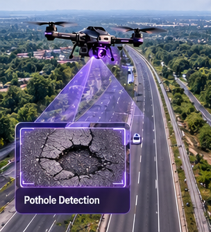
Road infrastructure
Review pavement quality, locate potholes, and estimate repair materials.
Explore the workflowBring roads, waterways, Utilities, and public spaces into one connected inspection workflow.

Purposeful intelligence for the teams responsible for everyday urban resilience.
Review pavement quality, locate potholes, and estimate repair materials.
Explore the workflow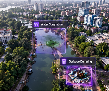
Locate illegal dumping and prioritize clearance along public corridors.
Explore the workflow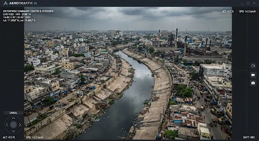
Identify choke points, silt accumulation, and restricted water flow.
Explore the workflow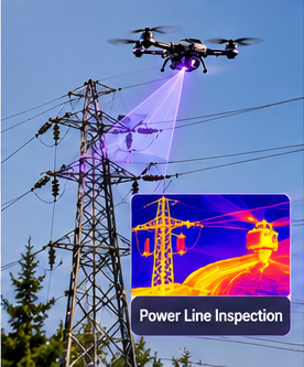
Inspect asset condition and flag potential clearance or boundary issues.
Explore the workflow
Cross-reference aerial observations with cadastral parcels and boundaries.
Explore the workflowAssess inundation and support coordinated response during heavy rainfall.
Explore the workflowA repeatable aerial record for pre-monsoon inspection and desilting review.

Understand where capacity is restricted, coordinate clearing work, and verify progress with comparable aerial evidence.
Illustrative audit values from the source design.
Explore a sample mission or discuss your next inspection corridor.