Autonomous aerial capture
Planned flight corridors and obstacle awareness bring a consistent view to every inspection.
Turn aerial inspections into confident decisions. Monitor roads, waterways, and urban infrastructure with a clearer view of what needs attention.



A connected view of urban infrastructure, from the first flight to the final review.
Planned flight corridors and obstacle awareness bring a consistent view to every inspection.
RTK positioning connects each finding to GIS land registries, assets, and municipal boundaries.
Onboard analysis turns complex imagery into findings your teams can review and act on.
Explore detection layers on a sample aerial inspection.

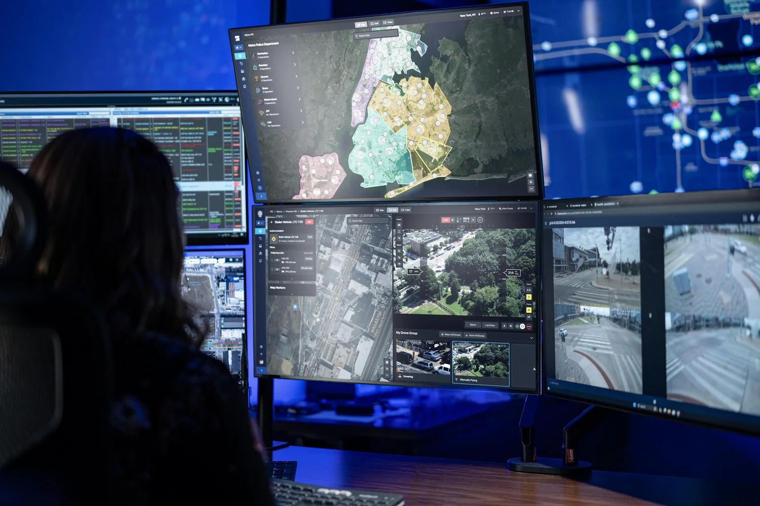
Identify silt accumulation, inspect culvert pinch points, and compare clearing progress with a consistent aerial record.
Keep evidence, human review, and operational follow-through together.
Inspect your corridor with multi-spectral aerial imagery.
Locate findings and validate AI-assisted detections.
Assign work, track progress, and verify the outcome.
Explore a sample mission or discuss your next inspection corridor.